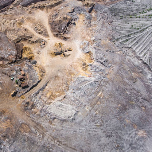
Drones are revolutionizing the way the mining sector is operating. Find out how aerial surveying using drones can save you time and money and substantially improve safety and efficiency. Contact us to find out how drones in aerial surveying can help your company progress into the future.
Aerial surveying is benefiting businesses in dozens of different industries and you can benefit too, but what accuracy or requirements do you need? If you are looking to innovate your business, save time and money all while increasing productivity and accuracy of your projects, you need to read this article. We will explain (in plain english) about GPS, GNSS, RTK and PPK, their limitations, advantages and their disadvantages.


